How can a phone know exactly where you are? How do scientists track hurricanes and earthquakes? There’s a big word behind all of that — “geodesy”! It’s the science of measuring the Earth (even the tiniest changes you can’t see with your eyes).
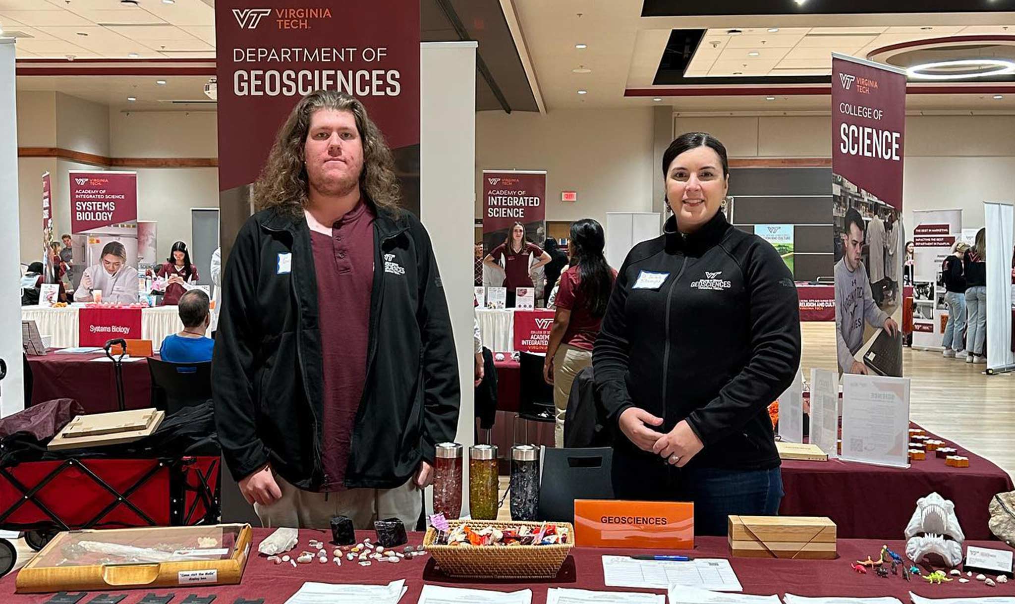
Dr. Sarah Stamps (SS) is a geodesist. That’s someone who studies geodesy. She uses , high-tech tools, and lots of math to study how the Earth moves. She also teaches students about geodesy at Virginia Tech, a university in Blacksburg, Virginia. News-O-Matic (NOM) asked Dr. Stamps all about her work!
NOM: “Geodesy” is a big word. Could you tell me more about what that is?
SS: Geodesy is the study of the changing shape of the Earth. I particularly measure how the Earth moves, within a millimeter. I’m trying to figure out what drives those movements.
NOM: How do you make those measurements?
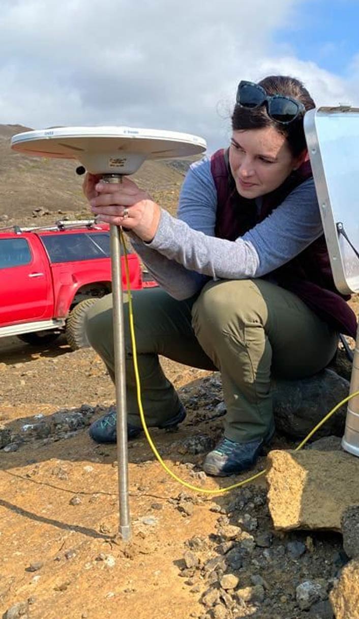
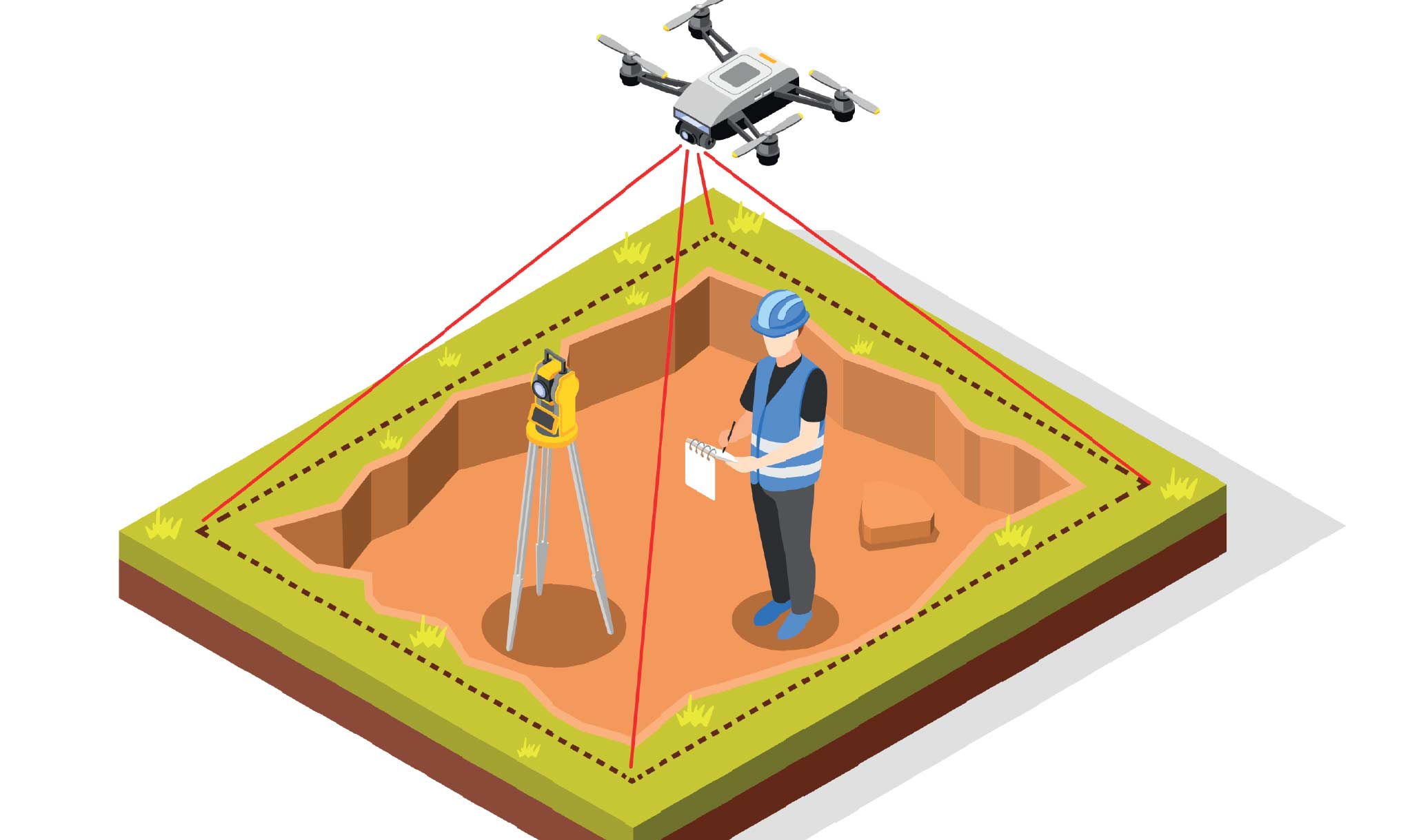
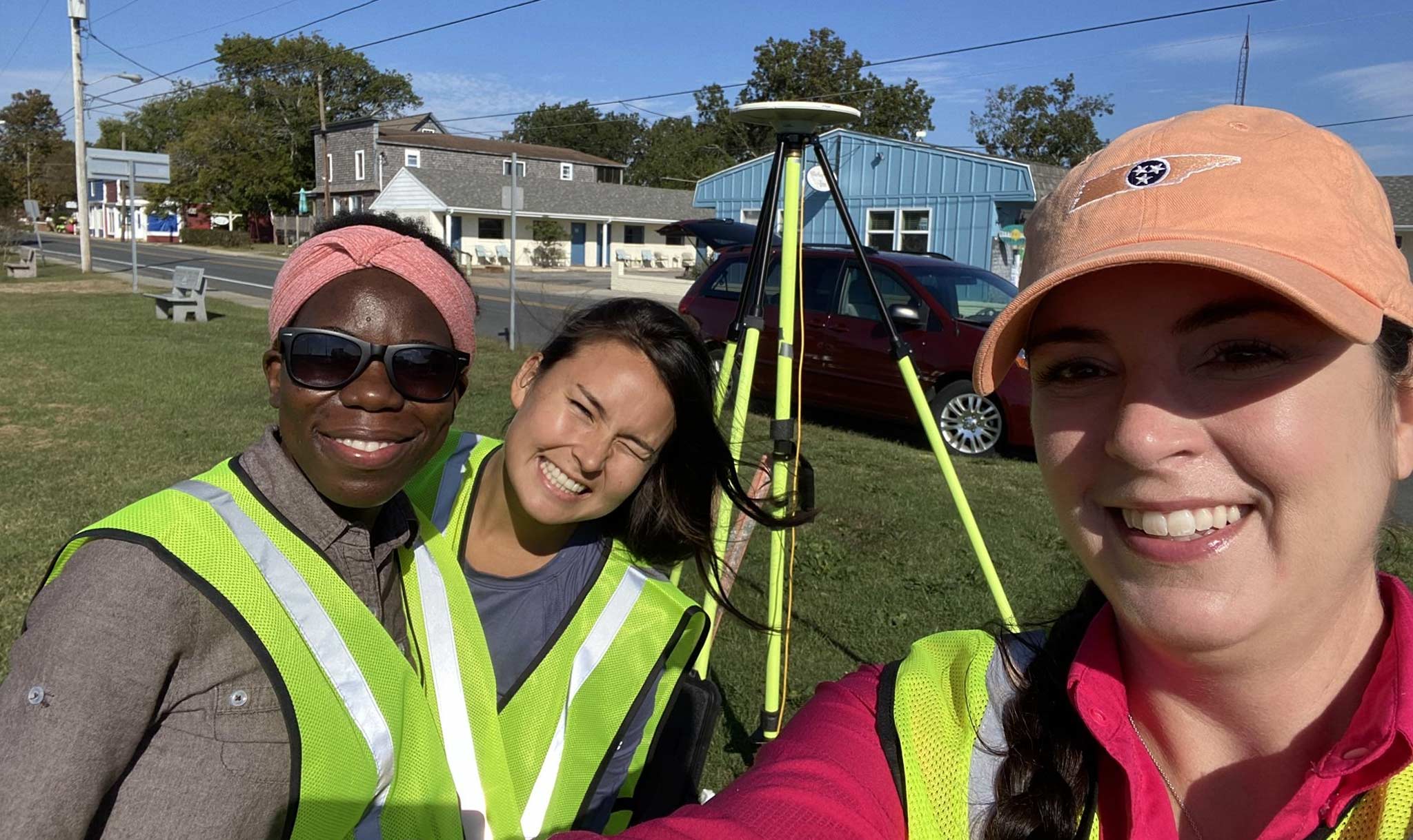
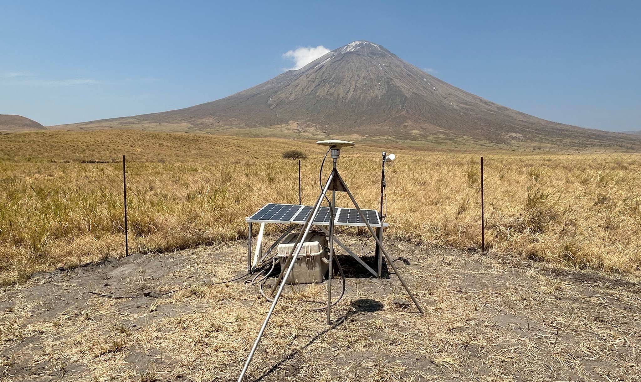
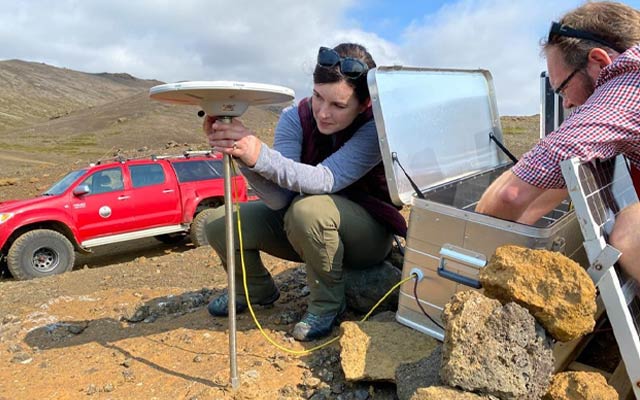
SS: We use instruments to detect signals coming from the global positioning system (GPS). The United States operates the GPS system, and that’s only one global positioning system out there. The broader term is GNSS, which stands for Global Navigation Satellite Systems. I take instruments out to the field, and I set up these pretty expensive antennae that detect the signals coming from the satellites. Then we process the data back at Virginia Tech.
NOM: And what happens with the data once you’ve got it? How is it used?
SS: We always make our data open access. We put it in places online so that other scientists can use it. We put that information into publications or reports that can be used by decision makers. For example, we have one project in the Chesapeake Bay of the United States. We’re hoping our data will help people making decisions about sea level rise and how relative sea level rise affects flooding in those areas.
NOM: How does geodesy connect to our lives?
SS: Geodesy is incredibly important for our lives. There are people who manage the satellite systems, like GPS, that are necessary for the
of planes. When we use a map on our phone, that’s using GPS. It’s important to know where things are on the Earth’s surface, send satellites to space, and figure out where a hurricane track is going. Almost anything could link back to positioning and geodesy. There are a lot of different ways to be a geodesist. You could go into the government or work at NASA. Or you could work at a school, which I think is fun.
NOM: How did you get interested in this work?
SS: I was lucky as a high school student. I learned about
through a program at the University of Missouri. They invited high school students and taught them about different fields in science, engineering, and technology. I was fascinated by what I saw. I had no idea you could use instruments at the surface of the Earth and peer into the Earth. Then I got to do a follow-up research study as a high school student. When I was looking for colleges to attend, I found somebody who did geodesy specifically, and that caught my interest. So, I went to that school, did research with him, and continued on the path of geodesy.
NOM: What is one of your favorite parts of your job?
SS: I like that my job has an impact on the real world and on understanding
. One of my projects is better understanding this active volcano in Tanzania, and whether it’s going to erupt. Then we inform the communities around there about what we find. It’s rewarding in the way that science helps people.
NOM: And what is a challenging part of your job?
SS: As an academic, you often have to ask for money to do the kind of research you want to do. So, that’s always a challenge. To keep doing the work you want to do, you need money.
NOM: Is there anything else you want to say to kids?
SS: There are lots of opportunities for good jobs in geodesy, and there happens to be a real need for more geodesists in the world. More satellites are going up, and more people need to understand these processes. There is a really bright future for geodesy, and going into that field is pretty interesting!
By Hannah Marcum
Updated April 17, 2025, 5:00 P.M. (ET)