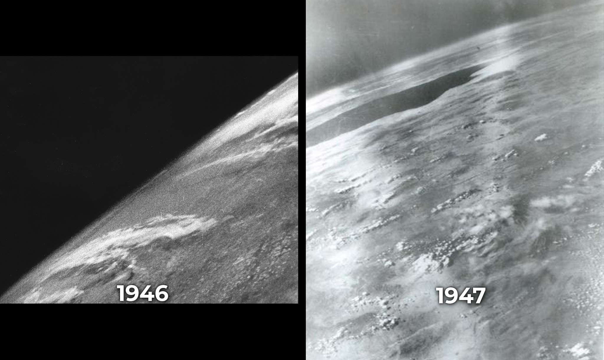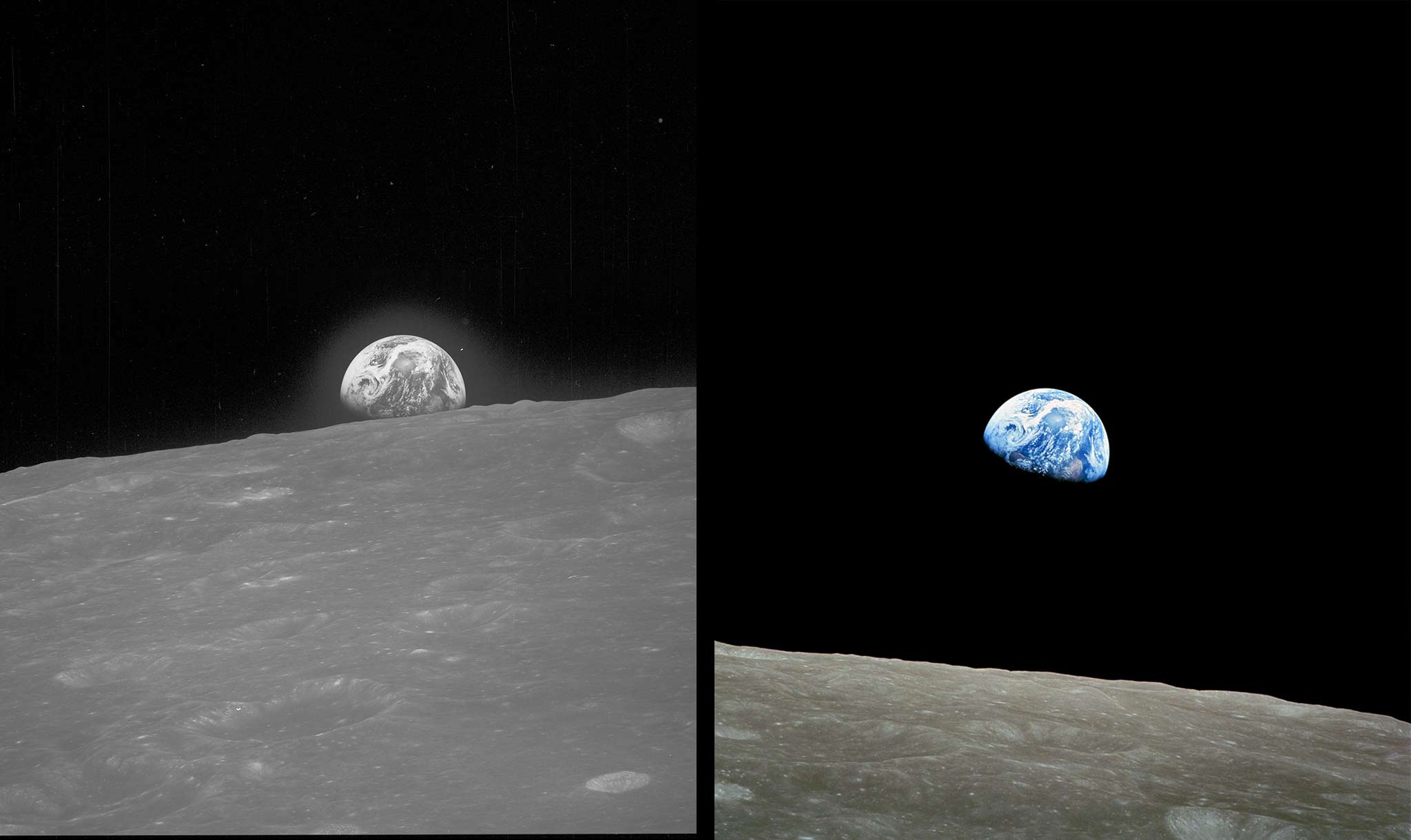
Our view of our planet is always changing. In the late 1800s, people took photos from balloons and kites to show the Earth below. By the 1940s, rockets sent cameras into space. Now a is studying the surface of the Earth in new ways. Named NISAR, it just sent its first images to scientists back on the ground. And they’re full of incredible detail!
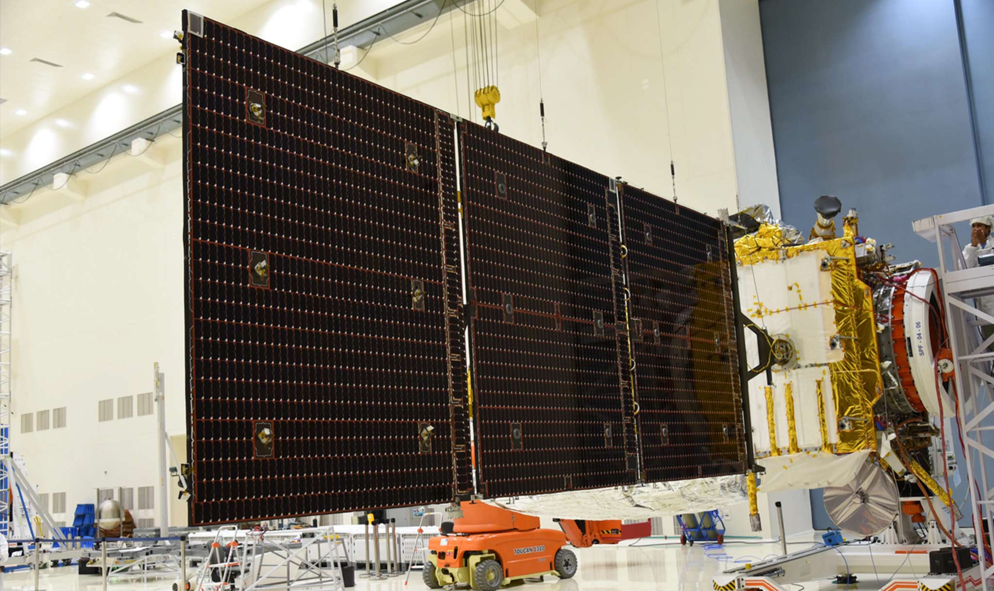
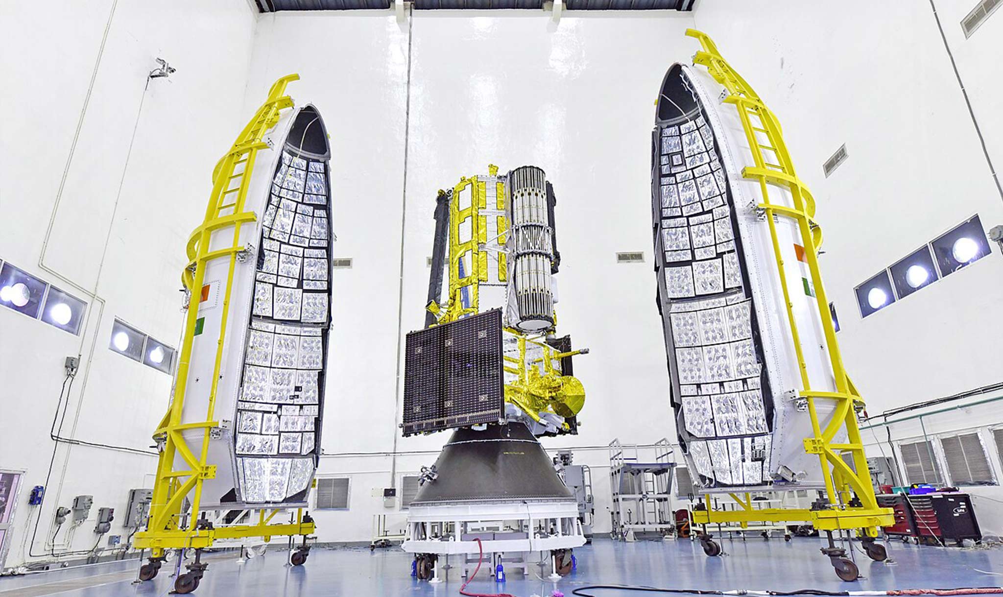
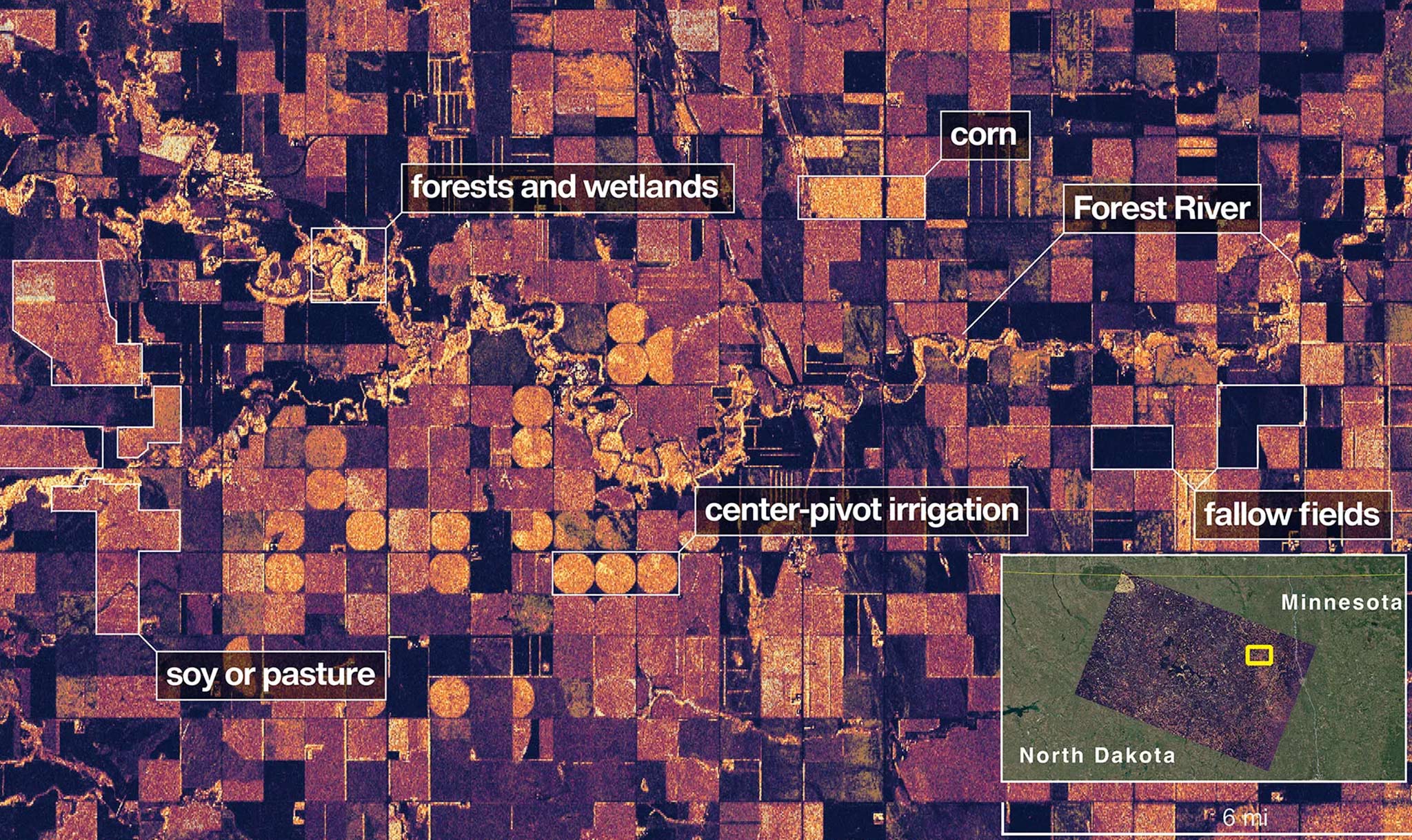
Two global groups worked together to build NISAR: NASA in the United States and ISRO in India. They launched the satellite from Sriharikota, India, on July 30, 2025. Once in space, the craft snapped pictures of farmland in North Dakota and islands in Maine on August 23. NASA released those images on September 25.
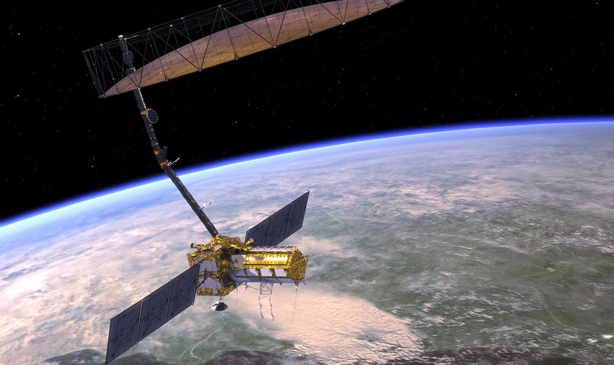
NISAR does not have a normal camera like you’d see on a smartphone. Instead, the satellite uses a special technology called radar to study the surface of the Earth. In fact, it has two radar systems. The L-band system lets its signal look through forests and measure moisture in the soil. The S-band can study small plants, which means it can help farmlands and grasslands. NISAR is the first spacecraft to carry both L- and S-band radars.
Thanks to its technology, NISAR will help scientists see the Earth like never before. For example, it will show changing . The satellite will measure changes to ice sheets, which can cause sea levels to rise. But it won’t only help experts learn more about our own world.
“By understanding how our home planet works, we can produce models and analysis of how other planets in our solar system and beyond work,” said Amit Kshatriya from NASA. And he said that will help “prepare to send humanity on an epic journey back to the Moon and onward to Mars.” Kshatriya called the first images from NISAR an example of how “ between two nations, on opposite sides of the world, can achieve great things together for the benefit of all.”
NISAR is now flying 464 miles (747 km) above the planet. It will begin doing its science work in November and should study the Earth for at least 3 years. “NISAR’s first images are a to what can be achieved when we unite around a shared vision of and discovery,” said NASA leader Sean Duffy. And he added: “This is only the beginning.”
By Russell Kahn (Russ)
Updated October 2, 2025, 5:00 P.M. (ET)